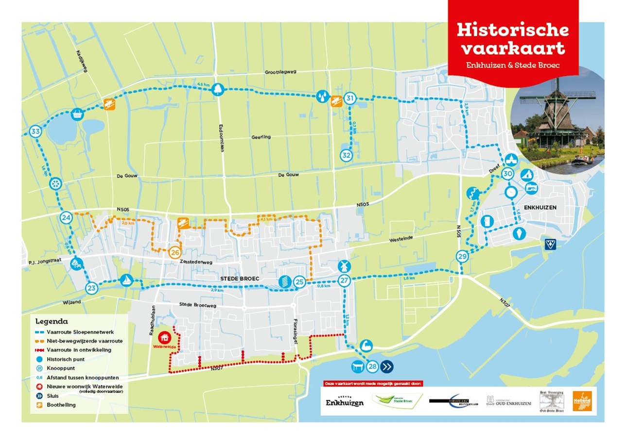
Historical navigational chart
New boating map for historic sailing route Stede Broec and Enkhuizen
Municipalities Stede Broec and Enkhuizen are releasing a boating map for a historic sailing route through their municipalities. The sailing map shows the sailing routes and tells the story of the historical waterways and the traces they have left in the current landscape.
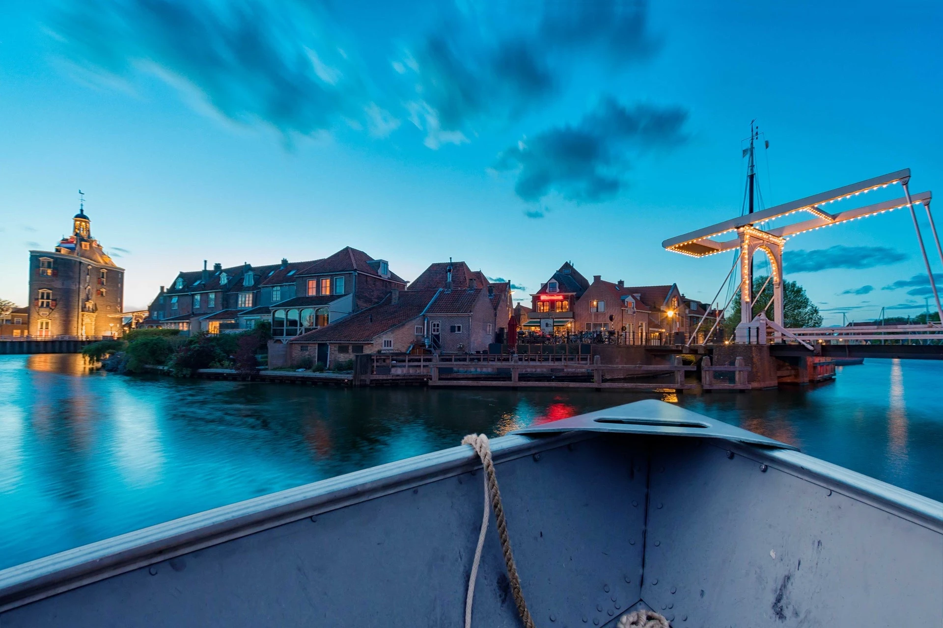
The municipality of Stede Broec has traditionally had dozens of waterways right through its residential areas. These waterways are connected to those in the municipality of Enkhuizen. The waterways used to have an important function for farmers and market gardeners. Nowadays, boating in Stede Broec and Enkhuizen is one of the most popular leisure activities of residents and visitors during the summer months.
Historical stories during sailing trip
The fact that there are so many waterways in Stede Broec and Enkhuizen has everything to do with the (agricultural) past. The former Zuiderzee has also left its traces in the current landscape around Stede Broec and Enkhuizen. Alderman Nico Slagter of Stede Broec: “Yet this past is relatively unknown to many residents and visitors. Therefore, with the new boating map we offer short historical stories that are fun to read before and during a boating trip.”
The connection of the waterways between the two municipalities also makes it possible to reach the water inside Enkhuizen’s ramparts. Mayor Eduard van Zuijlen of Enkhuizen: “People can discover from the water elements that are characteristic of the development of Enkhuizen and the area around it. It is nice that the stories about these can be found on the boating map.”
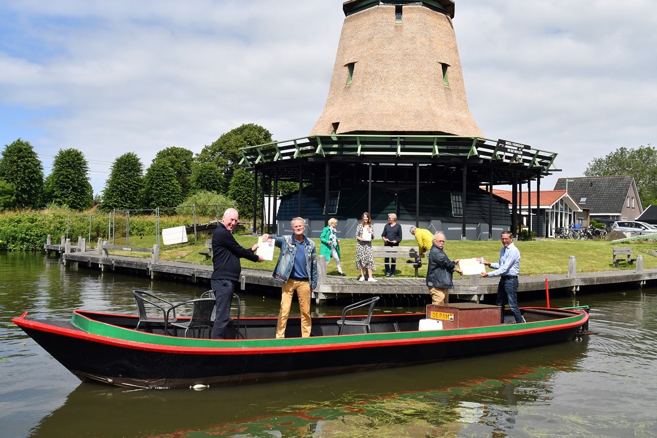
Handing over boating map
Stichting Marketing Enkhuizen was commissioned by the municipalities of Stede Broec and Enkhuizen to produce the boating map. In doing so, the foundation worked closely with the historical societies Oud Stede Broec and Oud Enkhuizen. On Thursday, June 24, 2021, the Marketing Enkhuizen Foundation, together with representatives of Oud Stede Broec and Oud Enkhuizen, handed the sailing map to Alderman Slagter and Mayor Van Zuijlen.
Distribution map
The boating map is available at various tourist information points (including VVV Enkhuizen), harbor offices and various recreational operators including catering establishments.
Gerelateerde tips en informatie
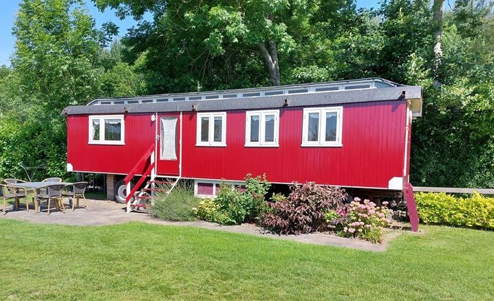
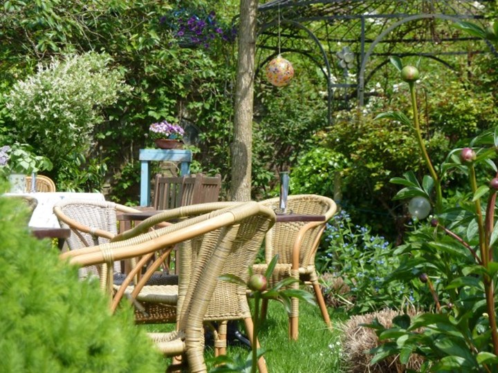
3x Extraordinary overnight stays in and around Enkhuizen
Would you like to make your overnight stay in Enkhuizen just a little more special and are you looking for a special experience? Here are 3 unique tips.
New children’s treasure hunt Enkhuizen
Start the summer vacation with a brand new scavenger hunt through Enkhuizen. Especially for elementary school children, we have created a 'Crack the code route' which takes you past special places in Enkhuizen. After about an hour and a half of walking and exploring, you will be back at the starting point and can try to crack the secret code.

Fun exit points
In Enkhuizen and Westfriesland you can enjoy cycling and walking. Want to take a break along the way and enjoy some goodies at the same time? We have lined up some great places to stop off!
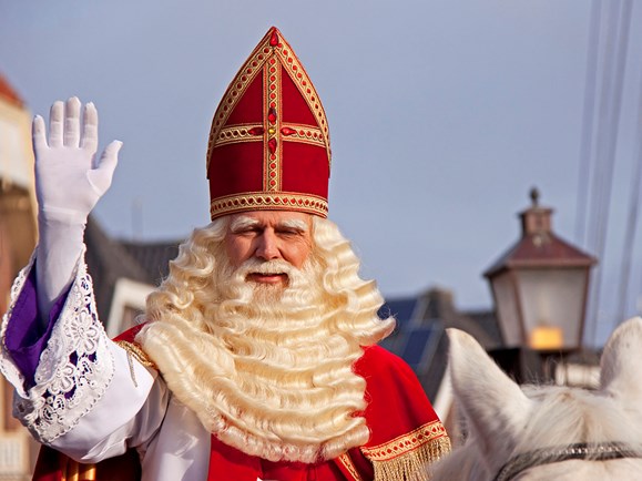
Sinterklaas in Enkhuizen
Sinterklaas will arrive in Enkhuizen this year on November 18. In the shopping street the cozy lights are already hanging and you are welcome for your shopping. Once Sinterklaas is in the country, you can participate in a very fun Pieten Speurtocht through Enkhuizen. We are warming up for a cozy December month!
New: Bike route booklet Enkhuizen
In the new bike route booklet we have mapped out 6 beautiful routes for you. Varying in length. For each route we give a nice tip for getting off the bike. For the first 100 buyers we have a nice promotion!
New in Enkhuizen!
All kinds of nice stores have been added recently in Enkhuizen. And that makes us very happy!